Minewind is a survival server built around choosing your own path and hunting down powerful loot that fits your play style. Find a wide variety of gear in chests across the world, trade with villagers for emeralds, and take on dangerous mon…
3D map
A 3D map server mirrors the world into an interactive map you view in a browser, rendered with real height and depth. You can rotate terrain, read elevation, and see builds as they sit in the landscape, which makes mountains, ravines, towers, and big bases immediately legible in a way a flat map cannot match.
The gameplay loop stays survival Minecraft, but your decision-making changes. Players use the 3D map to pick biomes before relocating, line up Nether tunnel exits, trace coastlines, and plan roads or rail without burning hours on blind scouting. Exploration becomes deliberate: you still have to travel and gather, but you waste less time getting oriented.
A public 3D map also sets the servers social and privacy tone. It encourages shared infrastructure and makes towns and regions feel connected, but it can expose hidden builds and accelerate resource competition. Well-run servers tune what the map reveals with update delays, hidden player tracking, limited dimensions, or reduced detail so the map supports navigation without becoming a constant surveillance tool.
Over time, a 3D map becomes part of how the community communicates. Coordinates get used more, landmarks matter, and the world feels like a real place with readable geography. It is not a gamemode on its own, but it strongly shapes long-term worlds where distance, planning, and settlement actually matter.
Will a 3D map reveal my base?
Usually, yes. If the map renders blocks, your builds are visible to anyone with access. Servers that care about privacy often add update delays for new chunks, lower render detail, or restrict the map to claimed areas to reduce the impact on hidden bases.
Does the map show live player locations?
Not always. Live updates and player tracking are separate settings. Many servers disable public player markers or limit them to yourself or your group so the map does not turn into an always-on tracking tool.
Can I use it to find biomes or structures faster?
Biomes are often easy to identify by color and terrain shape, so relocation planning gets much faster. Structure finding depends on whether the server adds markers; on exploration-focused servers, structure markers are commonly limited or disabled.
Is a 3D map basically Dynmap or BlueMap?
Most servers provide this through Dynmap or BlueMap. Both offer a web map with zoom and markers, but the look, performance, and what gets shown depend on configuration.
Why would a server hide the Nether, The End, or parts of the map?
To keep progression and travel strategy intact and to manage fairness. Mapping the Nether can trivialize portal routing, mapping the End can expose late-game resources, and reducing coverage or detail keeps the map useful without replacing exploration.
-
-
2
 20/100OnlineWelcome to ReforgedEarth, a Minecraft Java Towny server set on a highly detailed 1:1000 scale Earth map. Choose a real-world location, claim land, and turn it into a town that can grow into a nation with allies, rivals, and borders that mat…
 -
3
 11/50OnlineMetaUnion is a Minecraft network built around a friendly, helpful community and a mature, open-minded atmosphere. We keep things fair with an anti pay to win approach: donations only provide an in-game rank with no gameplay advantages. Our…
 -
4
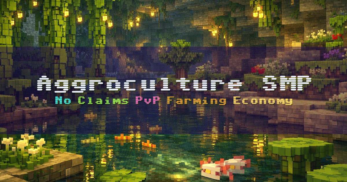 7/50OnlineWelcome to Aggroculture SMP, a semi vanilla survival server built for players who want real risk, real progression, and an economy that comes from the land. We focus on farming and PvP with a multi-crop, player-driven economy and skill-base…
 -
Welcome to StatesMC, a PvP-focused SMP built around factions and geopolitics, with a gun system that works without mods. Our factions dynamic is designed to minimize grinding so you can spend more of your time on the parts that make this st…
-
6
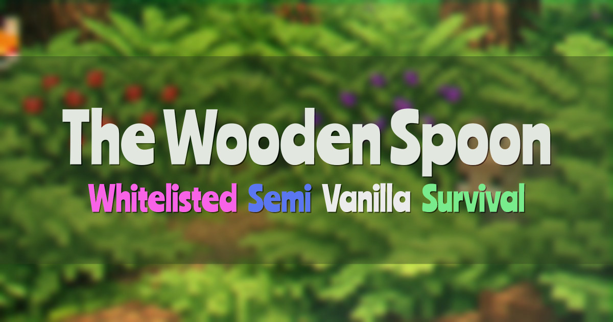 4/75OnlineThe Wooden Spoon is a whitelisted, semi-vanilla survival SMP built around co-op play and a genuinely collaborative community. We keep things friendly, organized, and welcoming for players who enjoy playing together rather than racing for ad…
 -
7
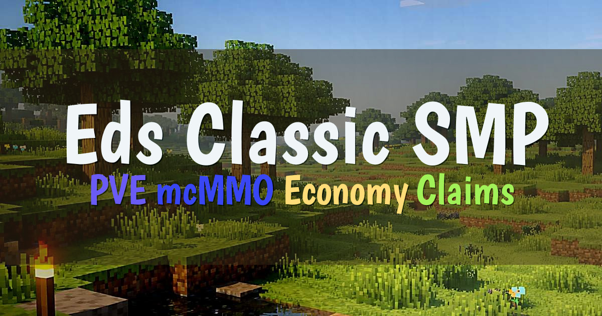 4/20OnlineEds Classic SMP is a relaxing PVE survival multiplayer server built for long-term play, with steady progression and a community that can grow over time. The server is still being updated and expanded, and we welcome player feedback as we co…
 -
8
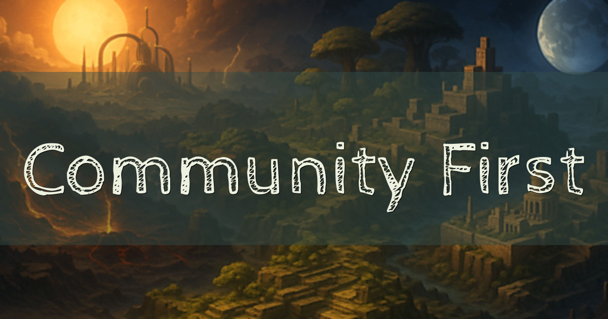 3/40OnlineLast Breath Hardcore is a community-first server built for players who miss joining a world and actually wanting to stay. We focus on a long-term experience where progress matters, your builds mean something, and people remember you even af…
 -
Freedom SMP is a survival server built around creativity, town building, and a player-friendly economy. With Towny, you can create your own town or simply claim a corner of the world and build at your own pace. Our economy features a server…
-
The Other SMP is a mostly vanilla, community-driven survival server built for players who want a chill atmosphere with helpful quality-of-life upgrades and custom mechanics. We focus on a friendly environment with no griefing and no toxicit…